
- This topic is empty.
-
AuthorPosts
-
2026-11-16 at 8:09 pm #10423
In early-stage mineral exploration, budget decisions often depend on how much weight to give a geophysical anomaly before committing to drilling. Resistivity, induced polarization (IP), and transient electromagnetic (TEM) surveys can provide valuable evidence for target generation, but an anomaly on a map is not the same thing as an ore body.
The core reason is that electrical and electromagnetic contrasts can arise from several sources. Sulfide mineralization, graphite, clay-rich zones, groundwater, overburden changes, weathering, and geological structures may all influence the measured response. A geophysical result must therefore be interpreted in geological context rather than treated as direct confirmation of mineralization.
Resistivity surveys investigate how electrical current moves through the ground. IP surveys measure chargeability-related behavior under an appropriate acquisition sequence. TEM surveys measure time-varying electromagnetic responses after controlled excitation. None of these methods has a fixed “shallow” or “deep” role in every project.
Method selection depends on target depth, size, geometry, expected conductivity or chargeability contrast, host-rock properties, overburden, terrain access, field noise, available power, survey layout, and the verification budget.
A large, conductive target may be well suited to TEM under appropriate survey conditions. A target with chargeability contrast may justify IP work. Resistivity can help map electrical structures, alteration zones, cover thickness, and other subsurface contrasts. In many projects, more than one method is used because each method contributes different evidence.
Two published Geomative field examples illustrate the boundary between target generation and confirmation.
In a gold exploration project in Brazil, the published configuration was a GD-10 Supreme 2D+/3D+ high-density electrical system with 24 channels and 24 non-polarized electrodes. Resistivity and IP data were used to investigate electrical contrasts associated with potential mineralization and to support follow-up exploration planning.
The survey results could help prioritize target areas, but electrical or IP anomalies alone do not confirm gold mineralization, ore grade, or mineral resources. Drilling, sampling, geological mapping, and laboratory analysis remain necessary when an exploration decision depends on the interpretation.
In a separate project at the Beishan lead-zinc mine in Hechi, Guangxi, GT-30 TEM data were interpreted together with geological information for underground mineral and groundwater investigation. The published case reports subsequent exposure verification of the interpreted results.
That verification step is important. It shows how geophysical results can narrow the search area and guide follow-up work, rather than replacing independent geological confirmation.
DIGspace is designed to support the interpretation stage by bringing multiple data types into a shared environment. Current platform information describes support for electrical survey, GPR, drilling logs, GIS, CAD, BIM, and other data types, together with ERT inversion and integrated two-dimensional and three-dimensional presentation.
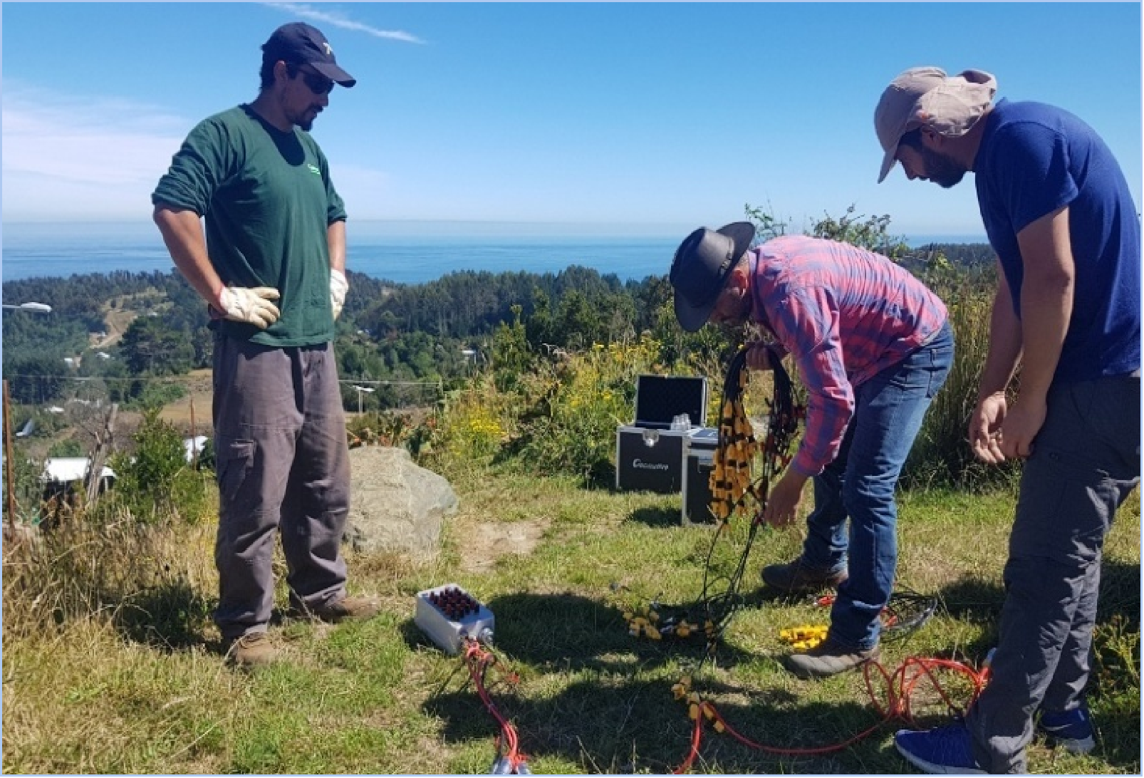
Multi-source visualization can help teams compare survey lines, profiles, drilling information, and interpreted anomalies in one spatial context. It does not automatically mean that all methods are jointly inverted, nor does a three-dimensional visual model automatically constitute a three-dimensional inversion result.
For early-stage mineral exploration teams, the choice between resistivity/IP and TEM should begin with a practical set of questions:
-
What physical-property contrast is expected from the target?
-
How deep, large, and geometrically continuous is the target expected to be?
-
What are the electrical properties of the host rock, overburden, groundwater, and likely interference sources?
-
Can electrodes be installed effectively, or would an electromagnetic configuration be more practical?
-
What field access, crew capacity, power supply, and acquisition time are available?
-
What drilling, sampling, exposure, or other verification work can follow a positive result?
The useful role of geophysics is to reduce uncertainty and prioritize where further exploration should focus. Resistivity, IP, and TEM can support better drill targeting when their physical assumptions, field configuration, and interpretation limits are clear. They do not replace geological confirmation; they help determine where that confirmation is most warranted.
https://www.geomative.com/
Geomative Co., Ltd. -
-
AuthorPosts

- You must be logged in to reply to this topic.